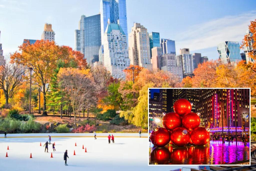
The prospects of a white Christmas in New York City and much of the United States appear increasingly dim, as meteorological forecasts predict a warming trend that will likely melt away any lingering hopes of snow on the ground for the holiday. Experts suggest that while it remains too early to definitively rule out the possibility of snowfall, the prevailing weather patterns strongly indicate a flake-free Christmas. This assessment is based on anticipated temperatures that are expected to remain above normal, driven by a jet stream configuration that will keep frigid Arctic air bottled up in Canada.
Cody Braud, a meteorologist with Fox Weather, expressed skepticism about the chances of a white Christmas in New York City, stating that it is “probably more than unlikely at this point.” He emphasized that this warming trend is not isolated to the Northeast but is projected to encompass a significant portion of the country. Braud explained that the jet stream’s projected path will prevent a southward plunge of cold air into the lower 48 states, effectively eliminating the necessary ingredient for snow formation. A dominant high-pressure system is expected to settle over the central U.S. on Christmas Day, further reinforcing the mild temperature regime.
While Braud acknowledged that minor shifts in the forecast are still possible in the coming week, he remains convinced that the overall trend favors a milder Christmas. He pointed out that the configuration of the jet stream, which acts as a barrier between cold Arctic air and warmer southern air masses, is the primary driver of this forecast. With the jet stream remaining relatively far north, the likelihood of cold air intrusions capable of producing snowfall is significantly reduced.
Ken Elliott, a meteorologist at WeatherWorks in New Jersey, echoed Braud’s assessment, describing the possibility of snow on Christmas Day as a “Christmas miracle.” Elliott anticipates a “transitionary period” around Christmas, with temperatures remaining above normal before a potential dip at the end of the month. He emphasized the persistence of the mild spell, which is expected to begin next week and continue through Christmas, creating a challenging hurdle for any potential snowfall.
The anticipated warming trend represents a departure from the recent frigid temperatures that gripped much of the country. This shift in weather patterns is driven by the dynamics of the jet stream, a fast-flowing river of air high in the atmosphere that plays a crucial role in shaping weather systems. The jet stream’s position and strength influence the movement of air masses, determining whether cold Arctic air or warmer southern air prevails in a given region. In this case, the jet stream’s northward position is effectively blocking the southward intrusion of cold air, leading to the predicted milder temperatures.
The forecasts from both Braud and Elliott paint a consistent picture of a Christmas season devoid of snow in the Northeast and much of the United States. While the possibility of a last-minute change in weather patterns cannot be entirely ruled out, the current meteorological data strongly suggests that a white Christmas will remain elusive this year. The anticipated warming trend underscores the influence of large-scale atmospheric patterns, such as the jet stream, on local weather conditions. The persistence of the mild spell through Christmas further solidifies the likelihood of a green, rather than white, holiday season.

