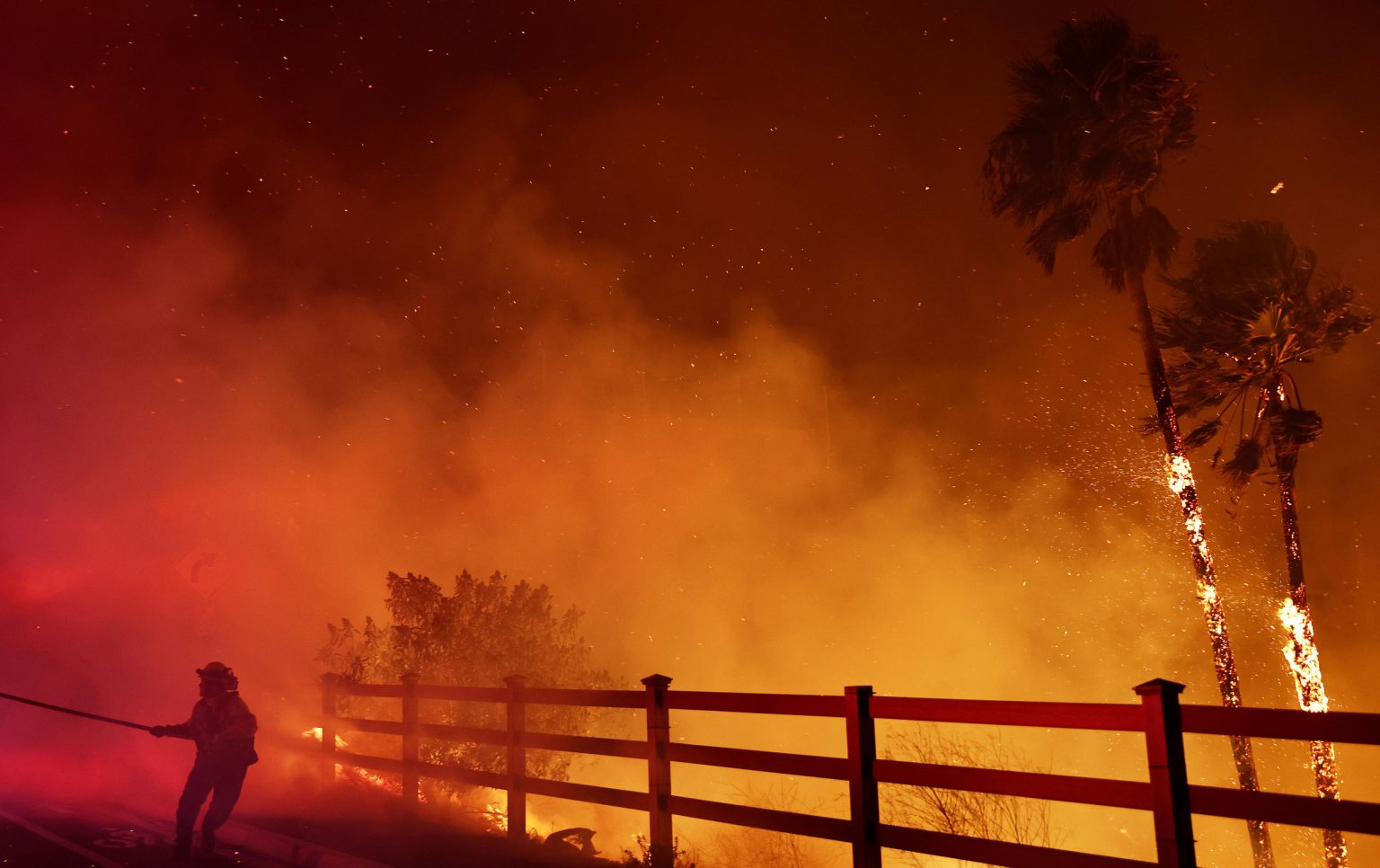
The Franklin Fire, which ignited near Malibu, California, late Monday night, has rapidly spread to over 2,700 acres, fueled by a confluence of extreme weather conditions. Animated weather models provide a stark visual representation of these conditions, highlighting the critical role of strong Santa Ana winds, exceptionally low humidity, and persistent drought in the fire’s explosive growth. Mandatory evacuations have been ordered for a large swathe of Malibu, impacting residents from Kanan Dume Road to the Pacific Coast Highway, and evacuation warnings extend even further, underscoring the imminent threat posed by the rapidly advancing flames. Firefighters have been battling the blaze since its inception, but the extreme weather conditions are hampering containment efforts and raising concerns about the potential for further ignitions across Southern California.
The Santa Ana winds, a seasonal weather pattern characterized by strong, dry downslope winds, are the primary driver of the fire’s rapid spread. These winds, which are expected to persist until Thursday, are significantly stronger than usual, with gusts recorded up to 70 mph. Animated wind maps vividly depict the powerful gusts sweeping across the region, pushing the fire’s perimeter outwards and creating challenging conditions for firefighters. The strong winds also increase the risk of new fires igniting, as embers can be carried long distances, potentially sparking spot fires in dry vegetation. National Weather Service meteorologists have issued red flag warnings, emphasizing the critical fire danger posed by the combination of strong winds and low humidity.
Low humidity further exacerbates the fire risk, as it contributes to the desiccation of vegetation, creating readily available fuel for the flames. Humidity levels in the Los Angeles area have plummeted to an alarming 5%, far below the 40% threshold considered low. This extremely dry air rapidly absorbs moisture from plants, rendering them highly flammable. The animated humidity tracker paints a clear picture of the parched conditions prevailing across Southern California, highlighting the region’s vulnerability to wildfires. The combination of strong winds and low humidity creates a volatile environment where fires can ignite easily and spread rapidly, posing a significant threat to life and property.
The persistent drought in Southern California has also played a significant role in the Franklin Fire’s rapid growth. While much of the state has recovered from the severe drought conditions of 2022, portions of Southern California remain arid. This dry vegetation acts as tinder for wildfires, allowing flames to spread quickly and intensely. The drought tracker reveals the ongoing dry conditions in the region, underscoring the long-term impact of drought on wildfire risk. The lack of moisture in the vegetation coupled with the extreme weather conditions creates a perfect storm for wildfires, making containment extremely difficult.
The convergence of these factors – strong Santa Ana winds, exceptionally low humidity, and persistent drought – has created a highly dangerous fire environment. Animated fire danger trackers depict a widespread threat across Southern California, with areas ranging from high to very high fire danger. The red flag warnings issued by the National Weather Service underscore the severity of the situation, urging residents to remain vigilant and prepared for potential evacuations. The ongoing fire conditions highlight the critical role of weather monitoring and predictive modeling in wildfire management and the need for proactive measures to mitigate the risks posed by these increasingly frequent and intense events.
The Franklin Fire serves as a stark reminder of the escalating wildfire threat in California and the interconnectedness of weather conditions, drought, and fire behavior. The animated weather models provide a compelling visual narrative of the factors contributing to the fire’s rapid spread, emphasizing the crucial role of real-time weather data in understanding and responding to these events. As climate change continues to exacerbate drought and extreme weather patterns, the risk of large, fast-moving wildfires is expected to increase, necessitating proactive measures to protect communities and mitigate the devastating impacts of these events. Ongoing monitoring, improved predictive models, and community preparedness are essential to effectively manage the growing wildfire threat in California and other fire-prone regions.

