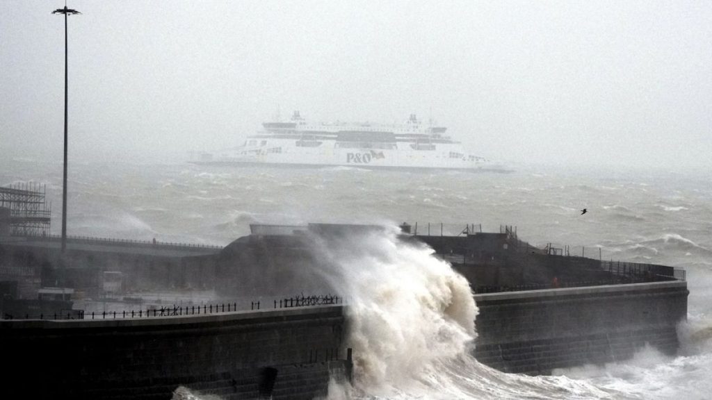
The United Kingdom is bracing for a significant shift in weather patterns as the New Year commences, transitioning from heavy rainfall and flooding to a widespread cold snap characterized by ice and snow. The Meteorological Office has issued a three-day yellow weather warning, encompassing a large swathe of the country and anticipating disruptive conditions from Saturday through Monday morning. This abrupt change follows closely on the heels of severe flooding experienced in parts of the UK, particularly around Manchester, where heavy downpours and strong winds marred New Year celebrations and caused significant disruption.
The primary concern with the impending cold snap is the widespread snowfall expected across much of England, southern Scotland, and all of Wales. Northern England is predicted to bear the brunt of the snowfall, with accumulations potentially ranging from 5 to 30 centimeters. Such heavy snowfall can significantly impact travel, potentially leading to road closures, flight cancellations, and delays in public transportation. Furthermore, the weight of the accumulated snow can cause damage to infrastructure, including power lines, resulting in power outages for affected communities. The Met Office has urged residents in these areas to prepare for these potential disruptions and to exercise caution when traveling.
Adding to the challenges posed by the snow, icy conditions are also anticipated, particularly in northeast Scotland, northwest England, and Northern Ireland. Ice can create extremely hazardous conditions for both pedestrians and motorists, increasing the risk of slips, falls, and traffic accidents. The combination of snow and ice will likely exacerbate travel difficulties and further contribute to potential delays and disruptions. Authorities are advising residents in these regions to stay vigilant, avoid unnecessary travel if possible, and take appropriate precautions if venturing outdoors.
The rapid transition from flooding to freezing temperatures underscores the dynamic nature of the UK’s weather systems and the challenges posed by such variability. Just days prior to the snow and ice warnings, several communities, particularly in the Manchester area, were grappling with severe flooding caused by persistent heavy rainfall. The deluge resulted in submerged homes, stranded vehicles, and the evacuation of residents. Emergency services, including firefighters and mountain rescue teams, were deployed to assist those affected by the floods and to ensure the safety of communities.
The flooding incidents highlight the vulnerability of certain areas to extreme weather events and the importance of preparedness and effective emergency response mechanisms. The rapid succession of flooding followed by a cold snap further emphasizes the need for robust infrastructure and community resilience to cope with the impacts of such diverse weather conditions. The declaration of a major incident in the Manchester area reflects the severity of the flooding and the coordinated efforts required to manage the situation and support affected residents.
The Met Office’s warnings serve as a crucial reminder of the importance of staying informed about weather conditions and taking appropriate precautions. As the UK navigates this shift from flooding to freezing temperatures, residents are urged to monitor weather updates, heed official advice, and prepare for potential disruptions. The combination of snow, ice, and the residual effects of recent flooding presents a complex set of challenges that require vigilance and a coordinated response from both authorities and individuals. Staying informed and prepared will be key to mitigating the impacts of this evolving weather situation and ensuring the safety and well-being of communities across the affected regions.

