


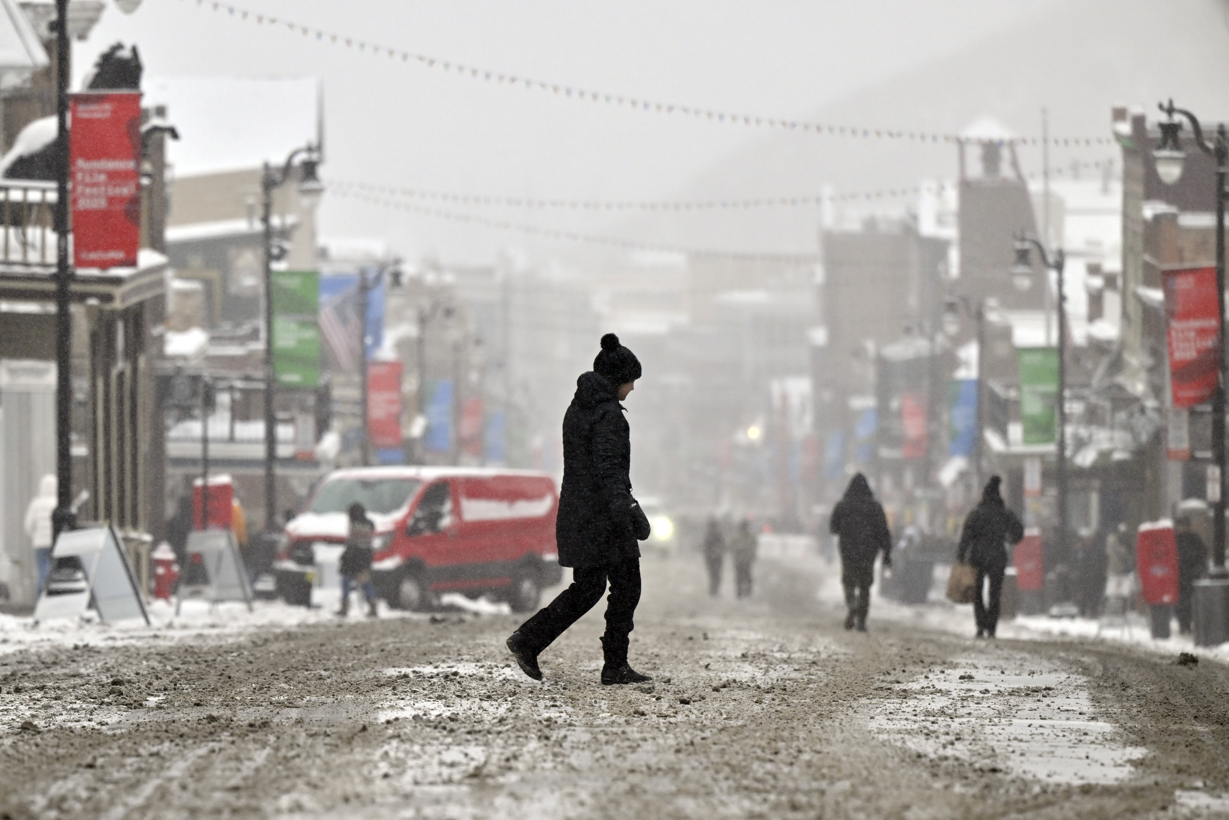
The National Weather Service (NWS) issued winter weather warnings across twelve states on Sunday, bracing for a significant winter storm impacting various parts of the country. These warnings encompassed a range of severity, from winter weather advisories to blizzard warnings, reflecting the diverse nature of the impending weather conditions. The storm’s potential impact ranged from travel disruptions and hazardous driving conditions due to heavy snow and ice accumulation, to potential power outages and health risks associated with freezing temperatures, particularly for vulnerable populations like infants and the elderly.
The geographic distribution of the warnings spanned a wide swathe of the U.S., highlighting the storm’s expansive reach. Winter weather advisories were in effect for parts of Wisconsin, Minnesota, and the Dakotas, indicating the expectation of freezing rain or moderate snowfall between 2 to 4 inches, sufficient to cause inconveniences but not severe enough to warrant a higher-level warning. Meanwhile, winter storm warnings, signifying a more significant and potentially hazardous combination of winter weather, were issued for portions of Montana, Wyoming, Utah, Idaho, Washington, Oregon, and California. These areas faced the prospect of heavy snowfall, potentially coupled with ice accumulation, creating dangerous travel conditions.
The specific regions targeted by these warnings included Northern California, southern Oregon, central and southwest Idaho, central Minnesota, northeast Utah, and northern Wisconsin. The most severe warning, a blizzard warning, was issued for a localized area in northwest Alaska, indicating extremely hazardous conditions with heavy snowfall and strong winds resulting in severely reduced visibility. The anticipated snowfall amounts varied across the affected states, with some regions, particularly in Wyoming’s mountainous areas, facing the possibility of extremely heavy snowfall accumulations ranging from 18 to 36 inches.
The NWS emphasized the potential for significant travel difficulties in these areas, cautioning about widespread blowing and drifting snow caused by strong winds, further exacerbating the hazardous conditions. In regions under winter storm warnings, the NWS predicted at least several inches of snow, advising residents to postpone travel if possible until conditions improved. These warnings underscored the potential for significant disruption to daily life and the importance of preparedness for residents in the affected areas.
Various NWS offices provided specific details about the expected weather conditions in their respective regions via social media platforms like X (formerly Twitter). The NWS Great Falls office warned of an arctic cold front moving through central Montana, bringing with it the coldest temperatures and wind chill from Monday through Wednesday morning, particularly across the plains where a cold-weather advisory was in effect. The NWS Green Bay office forecasted the return of snow, with a narrow band of heavy snow accumulating 3-5 inches or more likely across northern Wisconsin, although the precise location of the heaviest snowfall remained uncertain. NWS Seattle reported rain and snow showers transitioning to primarily snow showers, with some localized heavier accumulations possible, coupled with cooler air settling into the region, leading to widespread lows in the 20s.
These forecasts exemplified the evolving nature of the weather system and the need for continuous monitoring and updates from official sources. The NWS consistently provides revised forecasts as new data becomes available, emphasizing the importance of staying informed about the latest weather conditions and heeding any warnings or advisories issued. The impact of this winter storm is expected to be significant across multiple states, affecting travel, daily routines, and potentially posing health risks. The information disseminated by the NWS and other meteorological organizations plays a crucial role in ensuring public safety and minimizing the disruption caused by such extreme weather events. The continuous updates and specific regional forecasts allow residents to prepare adequately and make informed decisions regarding travel and other activities during the storm.


