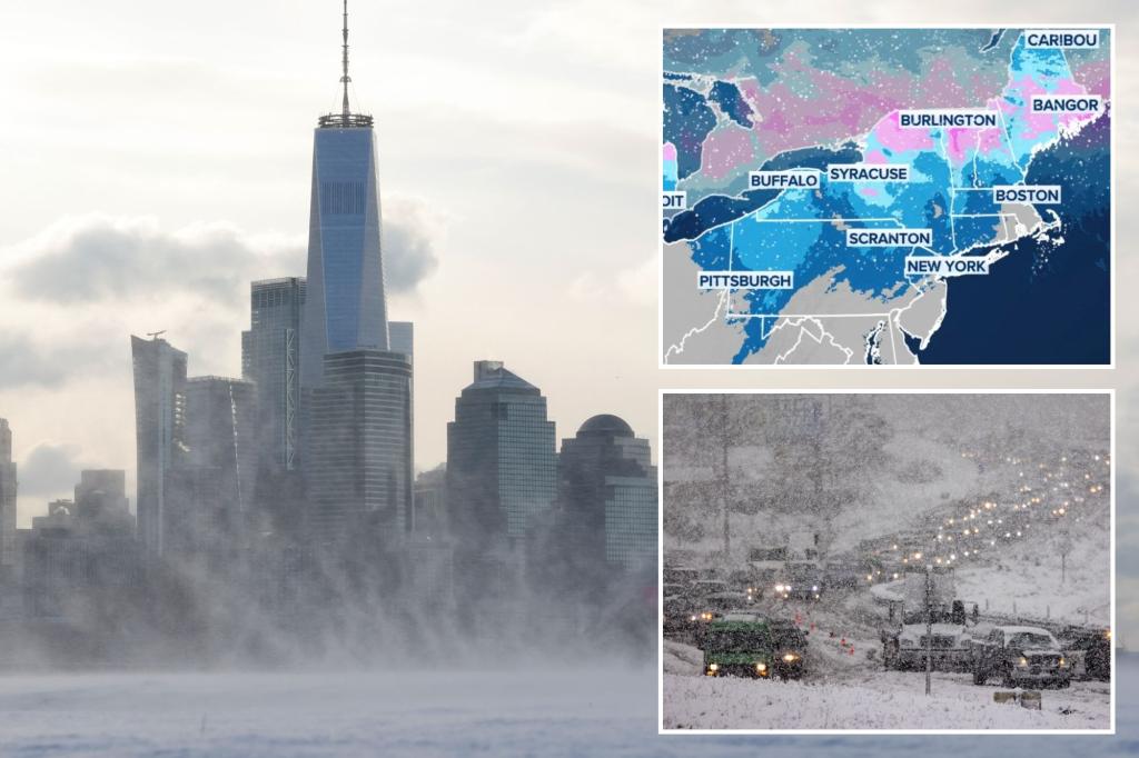
The 2024 Christmas travel period is projected to be the busiest on record, with nearly 120 million Americans embarking on journeys. However, various weather systems across the country threaten to disrupt these festive plans. While no major storms are anticipated, rounds of rain, winter weather, and mountain snow are expected, primarily affecting the eastern US and the West Coast. Despite these challenges, the central and eastern US are forecast to enjoy relatively pleasant weather on Christmas Day itself, allowing for smoother travel conditions.
The Northeast experienced a preliminary round of winter weather over the weekend leading up to Christmas, with several inches of snow blanketing areas along the I-95 corridor, including major cities like Philadelphia, New York, and Boston. This snowfall created slick travel conditions during one of the busiest travel periods. Boston recorded its largest snow accumulation since the blizzard of January 2022. Another snow-producing system is expected to move through similar areas in the Northeast leading into Christmas Eve, impacting travel in the region. Winter Weather Advisories are in effect from Wisconsin to Maine, and parts of the mid-Atlantic, due to the risk of freezing rain, sleet, and light snow, potentially leading to icy road conditions.
The West Coast is bracing for a series of storms throughout the week, bringing relentless rounds of rain and heavy mountain snow. These storms, though individually weak to moderate, will create prolonged periods of windy and unsettled conditions, posing challenges for travelers, especially after the holiday for return trips. Coastal regions from San Francisco to Seattle are at risk of moderate to heavy rain, with the potential for flash flooding. Significant snow accumulation is expected in the Cascade Mountains, northern Sierra Nevada Mountains, and the northern Rockies. Air travel through Seattle’s Sea-Tac Airport and San Francisco Bay Area airports may experience delays.
Meanwhile, the South is anticipating thunderstorms developing from a system drawing moisture from the Gulf of Mexico. Scattered showers and thunderstorms are expected from Texas into southern Missouri, continuing through Christmas Eve. The Ark-La-Tex region could see substantial rainfall, potentially reaching 2-3 inches. Some of these thunderstorms have the potential to become severe, bringing gusty winds, lightning, and heavy rainfall. While isolated flash flooding is possible, the rain is largely welcomed in a region grappling with prolonged drought conditions.
Looking beyond the immediate Christmas travel period, a significant warming trend is projected for the end of the year, impacting a vast swathe of the country. A strong Pacific jet stream is forecast to develop around Christmas, bringing warmer-than-average temperatures and a more active storm track to the Lower 48. This pattern is reflected in NOAA’s Climate Prediction Center’s extended outlooks, which indicate above-average temperatures across most of the Lower 48 for the week following Christmas. Precipitation is also expected to be near or above average for most regions, excluding portions of the Southwest and south-central US.
This end-of-year warmup could see temperatures soaring 10-20 degrees above average, affecting over 200 million people as we transition into 2025. This dramatic shift from the pre-Christmas chill to unusually mild conditions will create a contrasting weather experience for many as the year concludes. While this warmer weather may offer a reprieve from the earlier winter conditions, the increased precipitation and potential for storms associated with the active jet stream warrant continued monitoring and preparedness. The combination of holiday travel and dynamic weather patterns underscores the importance of staying informed about forecasts and adjusting travel plans accordingly.

