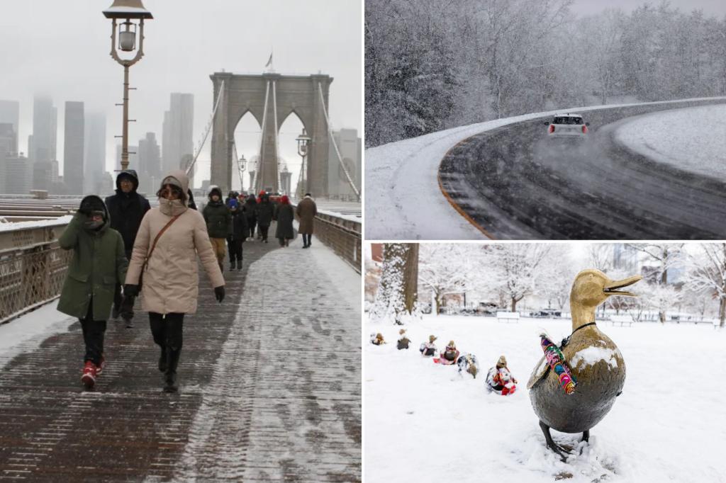
The northeastern stretch of Interstate 95, a major transportation artery, is bracing for a potential snow event impacting the Monday morning commute. The FOX Forecast Center predicts a snowfall of 1 to 3 inches spanning from Washington D.C. to Boston, beginning late Sunday and tapering off by Monday. This snowfall is expected to usher in the coldest temperatures of the season so far. The precise snow accumulation remains uncertain, hinging on the interaction of two distinct storm systems forecast to traverse the Northeast over the weekend.
The initial system, a low-pressure area originating from eastern Canada, is anticipated to arrive on Saturday. Relatively mild temperatures in the 40s are expected to bring rain to the Ohio Valley and much of the Northeast. However, as colder air filters in, the rain is projected to transition into snow across a swathe of the region, stretching from Ohio and Indiana up into the interior Northeast. This first system could deposit a few inches of wet snow before exiting the coast on Saturday night.
Following closely on the heels of the first system, a second area of low pressure is predicted to develop off the Carolina coast on Sunday. This system is expected to track north along the Eastern Seaboard, bringing a fresh wave of snow. The precise trajectory and intensity of this second system are crucial in determining the ultimate snowfall totals, particularly along the I-95 corridor. A coastal track could result in a narrow band of heavy snow, potentially impacting major metropolitan areas along the interstate.
The interplay of these two systems creates a complex weather scenario, with the potential for significant snowfall along the heavily populated I-95 corridor. The current forecast highlights the uncertainty inherent in predicting winter weather events, emphasizing the dependence on the precise development and movement of these low-pressure systems. The potential for a quick accumulation of snow, coupled with the expected drop in temperatures, raises concerns for travel disruptions and potential power outages.
This impending snow event underscores the importance of preparedness for residents and travelers in the affected regions. Monitoring weather forecasts, preparing for potential power outages, and adjusting travel plans are crucial steps to mitigate the impact of this winter weather. The forecast remains fluid, and further updates will provide more precise information as the systems evolve over the weekend.
As an example of the anticipated weather fluctuations, the forecast for Boston encapsulates the potential roller-coaster ride. Saturday is expected to see temperatures in the 40s, followed by snow on Sunday evening, and a dramatic plunge to single-digit temperatures by Monday night. This rapid temperature swing, combined with the potential for accumulating snow, highlights the potential for hazardous travel conditions and the need for residents to take appropriate precautions. The impending weather event serves as a reminder of the dynamic nature of winter weather and the importance of staying informed and prepared.

