Climate change, a global phenomenon driven by human activities, is causing a steady rise in global sea levels, posing a significant threat to coastal communities worldwide. While the entire US coastline is projected to experience an average sea-level rise of 10-12 inches by 2050, equivalent to the rise witnessed over the past century, the impact will vary significantly depending on local geographical factors and existing protective infrastructure. A new interactive map developed by Climate Central, a nonprofit research organization, utilizes advanced predictive modeling to visualize the potential impacts of this rising sea level on specific regions, providing a crucial tool for understanding and preparing for the future.
California, with its extensive coastline, is understandably a focal point in these projections. However, the map reveals a somewhat surprising pattern: California’s vulnerability to sea-level rise appears to be less pronounced compared to other coastal states, particularly Florida. This relative resilience is largely attributed to two key factors: the state’s topography and its robust network of protective structures. Unlike Florida, which has extensive low-lying coastal plains, California’s coastline is generally characterized by steeper terrain, reducing the immediate impact of rising waters. Furthermore, California has invested heavily in seawalls, levees, and other protective measures that significantly mitigate the risk of inundation.
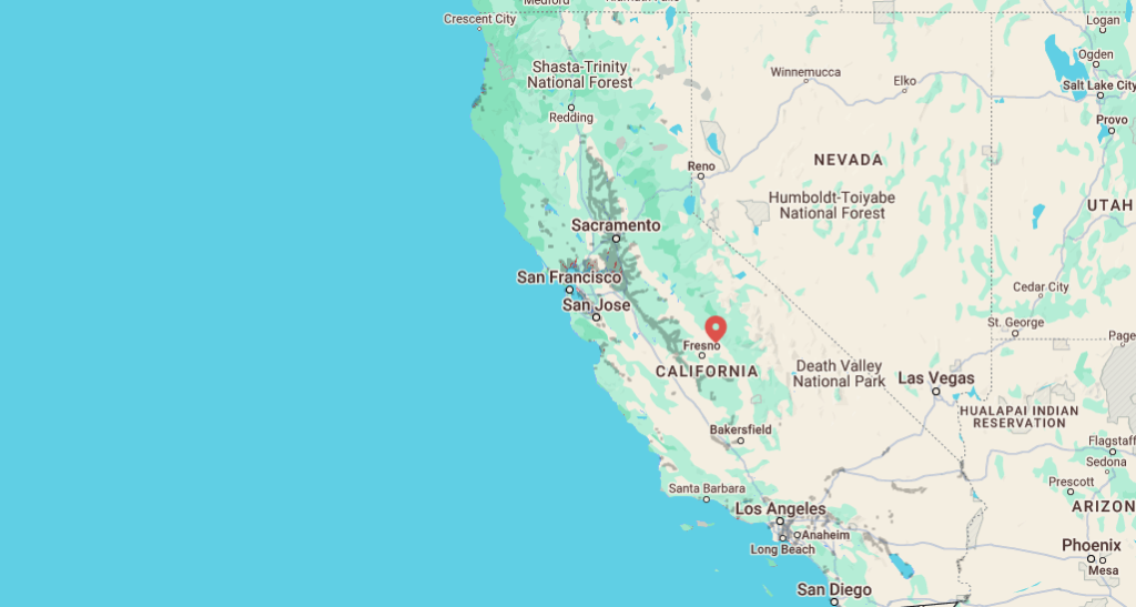
The map highlights the critical role these protective structures play in safeguarding California’s coastal communities. With these defenses in place, the projected impact of sea-level rise by 2050 is relatively contained. The most vulnerable areas are primarily low-lying inland regions around the San Francisco Bay Area, specifically surrounding San Pablo Bay, including Vallejo, areas along the Napa River up to Petaluma, and the wetlands and wildlife refuges around Suisun and Grizzly Bays. While San Francisco itself is largely protected, the map indicates potential risks to its airport and areas north of the Oakland Airport. Some areas west of Stockton are also identified as being at risk. Southern California, including Los Angeles, remains largely unaffected, with only minor risks identified in small coastal pockets of Orange County and near the port of Long Beach.
However, the map’s interactive feature allows users to visualize the potential consequences of removing these protective structures from the equation. This “no protection” scenario paints a drastically different picture, illustrating the essential role these defenses play. Without levees, seawalls, and natural barriers, vast swaths of land, including areas around the Sacramento-San Joaquin River Delta and the region between Sacramento and Stockton, would be submerged by 2050. The San Francisco Bay Area, currently displaying localized vulnerability, would face widespread inundation. This stark contrast underscores the importance of maintaining and strengthening existing coastal defenses, particularly in light of the projected continued sea-level rise.
The projected sea-level rise poses not just a threat of permanent inundation, but also significantly increases the risk of more frequent and severe flooding events. Low-lying coastal areas, particularly those near river mouths, are already experiencing higher flood risks due to the sea-level rise witnessed over the past few decades. As sea levels continue to climb, these communities will bear the brunt of the impacts, experiencing more frequent and intense flooding episodes. This increased flood risk has profound implications for infrastructure, property, and the safety and well-being of coastal residents.
Climate Central’s interactive map serves as a powerful visual tool, offering valuable insights into the potential consequences of climate change-induced sea-level rise. By highlighting the vulnerability of specific regions and the crucial role of protective infrastructure, the map empowers communities to make informed decisions about adaptation and mitigation strategies. As sea levels continue to rise, proactive planning and investment in resilient infrastructure become even more critical to safeguard coastal communities and minimize the disruptive impacts of climate change. Understanding the projections and preparing for the future is essential not only for California, but for all coastal communities facing this global challenge.


