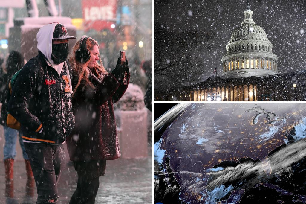
A Deep Freeze Descends Upon the United States
A potent winter storm is gripping a vast swathe of the United States, bringing heavy snow, dangerously low temperatures, and a mix of wintry precipitation to millions of residents from the Northern Plains to the Eastern Seaboard. Winter storm warnings are in effect across multiple states, with heavy lake-effect snow anticipated in western New York, potentially burying some areas under several feet of snow. This widespread weather event is predicted to impact an estimated 70 million people, exposing them to hazardous conditions.
The snow currently blanketing the East Coast is merely the prelude to a week of volatile weather. An arctic blast, originating from a disruption in the polar vortex, is poised to plunge temperatures to dangerously low levels across much of the country. The Northern Plains and Rockies are expected to experience the most extreme cold, with temperatures plummeting to potentially life-threatening levels between -30°F and -55°F. Sub-zero wind chills will extend as far south as Oklahoma and the Tennessee Valley.
This frigid air mass will moderate as it moves eastward, but will still bring significantly colder-than-normal temperatures to the Central and Eastern US. The Mid-Atlantic and Northeast will experience highs in the teens and twenties, with lows dipping into the single digits and below zero, accompanied by biting wind chills. Washington D.C. anticipates temperatures in the 20s coupled with strong wind gusts, necessitating the relocation of the presidential inauguration ceremonies indoors.
The impending cold snap has prompted officials to issue warnings and advisories. In Minnesota, residents are urged to dress in layers, carry survival kits when traveling, and ensure their vehicles have full gas tanks and charged cell phones. These precautions underscore the seriousness of the situation, mengingatkaning residents of the potential dangers associated with extreme cold.
Adding to the complexity of this weather event, a low-pressure system over the Gulf of Mexico is interacting with the frigid air, creating a unique and potentially hazardous mix of snow, sleet, and freezing rain across a wide swathe of the South. This unusual weather pattern is expected to impact nearly 30 million people from Texas to northern Florida and the Carolinas, starting Monday night in Texas and spreading eastward over the Gulf Coast and Southeast through Wednesday.
The combination of heavy snow, extreme cold, and the unusual wintry mix poses significant challenges for residents and infrastructure. Louisiana has preemptively declared a state of emergency, urging residents to prepare and monitor the forecast closely. The potential for power outages, transportation disruptions, and other hazards underscores the importance of preparedness and vigilance. The National Weather Service continues to monitor the situation closely, providing updates and warnings to ensure public safety. The week ahead promises a dynamic and challenging weather scenario, demanding caution and preparation from all those in the affected areas. The convergence of these various weather systems creates a complex and potentially dangerous situation, highlighting the importance of heeding official warnings and taking necessary precautions.

