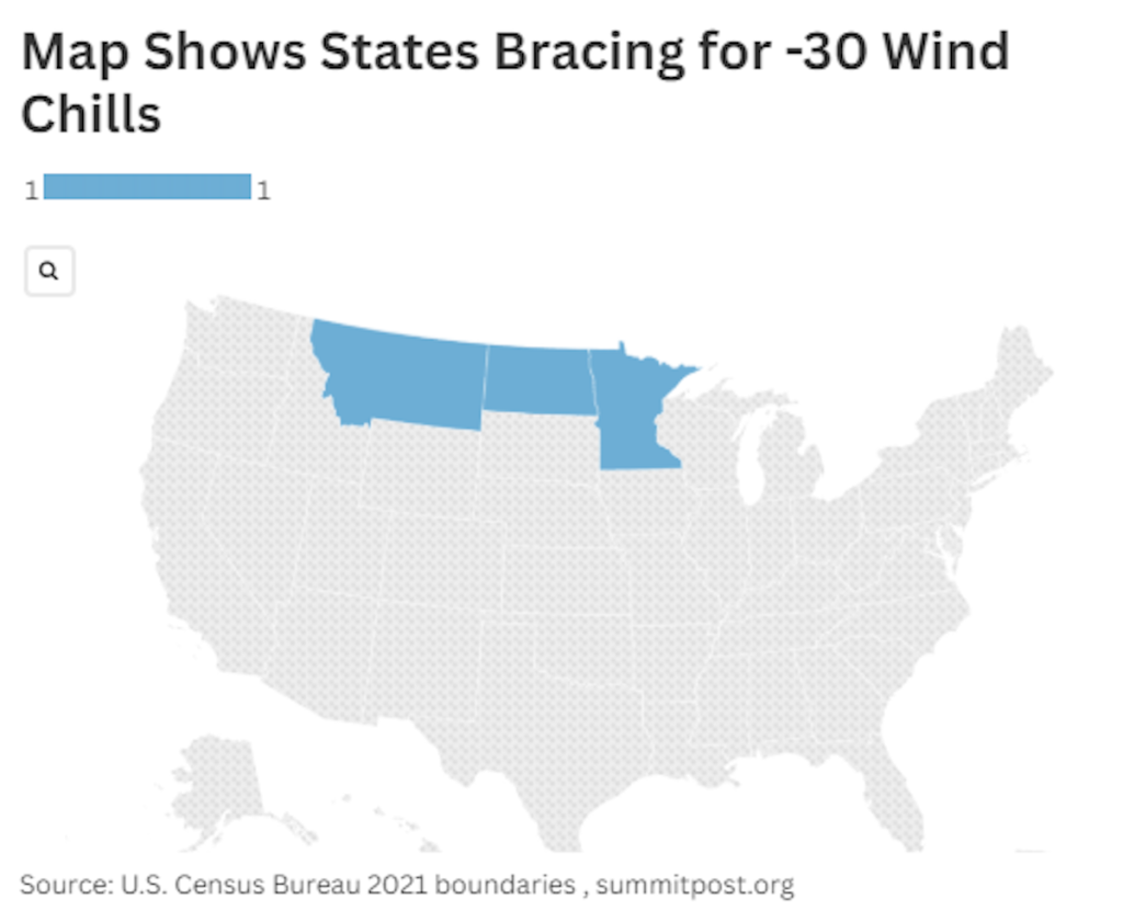
The northern reaches of the United States, specifically North Dakota, Montana, and Minnesota, are bracing for an imminent onslaught of dangerously cold temperatures. An encroaching high-pressure system, originating from the Canadian prairies, is ushering in an Arctic blast that promises to plunge wind chill temperatures to life-threatening levels. The National Weather Service (NWS) has issued urgent warnings, highlighting the potential for frostbite within minutes of exposure and the serious risk of hypothermia. This frigid weather event, while not entirely unprecedented, underscores the importance of preparedness and safety measures during extreme winter conditions.
The NWS has delineated specific cold weather advisories across the affected states, painting a stark picture of the impending Arctic invasion. Montana’s Richland County is forecast to experience wind chills as low as -32 degrees Fahrenheit, while other counties, including Southern and Central Valley, Daniels, Eastern Roosevelt, Northern Valley, Sheridan, and Western Roosevelt, face the grim prospect of -37-degree wind chills. North Dakota’s north central and northwest regions are projected to endure -35-degree wind chills, while the northeast and southeast sections of the state could plummet to a bone-chilling -40 degrees. Minnesota mirrors these extreme conditions, with northcentral and northwest areas anticipating -40-degree wind chills, and Southern Cook County, including the Grand Portage Reservation, bracing for -33-degree wind chills.
The severity of these subzero temperatures cannot be overstated. Exposed skin can succumb to frostbite in a matter of minutes, a condition that can cause permanent tissue damage. Prolonged exposure to such extreme cold also significantly elevates the risk of hypothermia, a life-threatening condition characterized by a drop in core body temperature below 95 degrees Fahrenheit. The NWS emphasizes the critical need to limit outdoor exposure and take appropriate precautions to protect oneself from the potentially devastating effects of these frigid conditions.
NWS Meteorologist Megan Jones, based in Bismarck, North Dakota, provides context for this extreme weather event. While acknowledging that such Arctic blasts are not unheard of during the winter season, she emphasizes the inherent dangers they pose. She reiterates the importance of minimizing time spent outdoors and stresses the need for preparedness, especially for those traveling. An emergency kit, she advises, is essential for anyone venturing out, providing a crucial lifeline in case of vehicle trouble or other unforeseen circumstances.
Jones further elaborates on the forecast, indicating that the Bismarck region will bear the brunt of the most extreme wind chills overnight, with conditions remaining frigid throughout Saturday. She underscores the origin of this Arctic air mass, attributing it to a high-pressure system descending from the northern Canadian prairies. Echoing the NWS’s official warnings, she emphasizes the paramount concern for safety, urging residents to take all necessary precautions to protect themselves from the potentially debilitating effects of the extreme cold.
The NWS Bismarck office, in its official communication on the social media platform X (formerly Twitter), reinforced the severity of the impending cold snap. Their message highlighted the return of “very cold wind chills as low as 44 below zero” across northern North Dakota, extending through Saturday morning. The warning extended to the potential for these frigid temperatures to persist into the following week, underscoring the protracted nature of this cold spell. The message reiterated the critical risk of frostbite within minutes of exposure, serving as a stark reminder of the urgent need for vigilance and precautionary measures. The hashtag #ndwx further contextualized the warning, specifically targeting residents of North Dakota.
As this wave of Arctic air sweeps across the northern states, forecasts indicate a gradual easing of the extreme cold by Saturday night. However, this respite may be short-lived as other regions of the Midwest and the Plains brace for the arrival of Winter Storm Blair, promising a new set of meteorological challenges. This impending storm system serves as a reminder of the dynamic and often unpredictable nature of winter weather, emphasizing the ongoing need for preparedness and vigilance throughout the season.
This situation highlights the interconnectedness of weather systems and the cascading effects of extreme conditions. While the immediate focus remains on the immediate threat of the Arctic blast, the looming arrival of Winter Storm Blair underscores the broader context of a dynamic and evolving weather pattern. This series of events serves as a powerful reminder of the importance of staying informed about weather forecasts, heeding official warnings, and taking proactive steps to protect oneself from the potential impacts of extreme weather.


