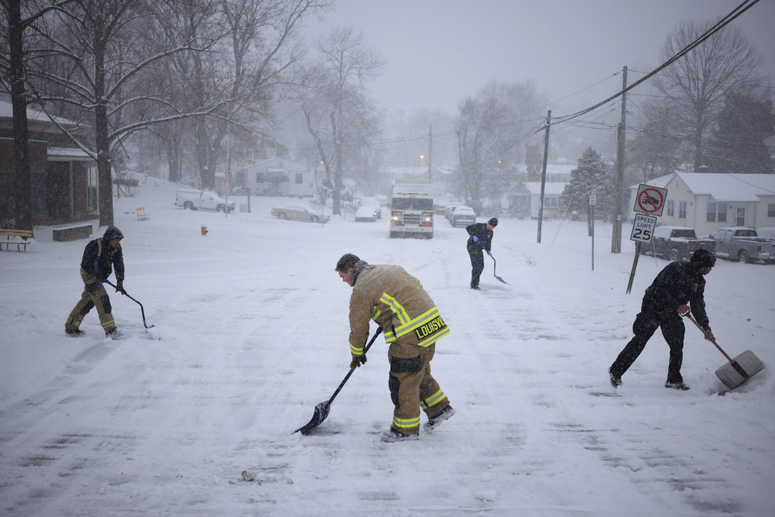
The United States is bracing for a powerful polar vortex that is sweeping across the country, bringing with it dangerous blizzard conditions and heavy snowfall. The National Weather Service (NWS) has issued numerous winter storm warnings and advisories as this deep freeze impacts dozens of states. The unprecedented reach of this Arctic blast extends from Alaska through the Midwest and deep into the Southeast, a region typically unaccustomed to such severe winter weather. This widespread impact is causing significant disruptions and hazardous conditions, requiring residents to take precautions and limit travel.
Snowfall predictions vary significantly across the affected states. The mountainous regions of Colorado and Wyoming can expect several inches of accumulation, while the Midwest, including Illinois, Indiana, and Iowa, is forecast to receive between 3 and 12 inches. Heavier snowfall is expected in some localized areas, particularly in the higher elevations of Pennsylvania, where some areas could see up to 14 inches. Southern states like Georgia and South Carolina, which rarely experience significant winter weather, are also under warnings for snow, ice, and freezing rain, highlighting the unusual breadth of this weather system. This varied snowfall, coupled with strong winds, creates a significant risk of blowing and drifting snow, further exacerbating travel hazards.
The impact of this polar vortex extends beyond just snowfall. Significant ice accumulation is a major concern, particularly in areas experiencing freezing rain. Alaska, portions of the Southeast, and parts of the Midwest are at risk for ice buildup, creating treacherous conditions on roads, bridges, and power lines. Strong winds, with gusts predicted up to 50 mph in some areas, further complicate the situation, leading to reduced visibility and the potential for power outages due to downed lines. These combined conditions create a dangerous situation for residents, necessitating careful preparation and vigilance.
The storm’s impact on transportation is a significant concern. Major travel disruptions are anticipated, particularly along major interstate corridors. The NWS strongly advises limiting travel during the height of the storm. For those who must travel, carrying emergency supplies is crucial. Sudden changes in visibility and hazardous road conditions, including blizzard-like conditions and icy surfaces, pose serious risks. The potential for flash freezing further contributes to the dangerous travel environment, requiring drivers to exercise extreme caution.
The specific forecasts for individual states paint a clearer picture of the widespread impact. From the heavy snow and ice expected in the Northeast and Mid-Atlantic to the rare winter precipitation in the South, the storm’s effects are diverse. Even states not traditionally associated with winter weather, such as Texas and Oklahoma, are expecting some accumulation. This broad reach underscores the unusual nature of this polar vortex event and the importance of preparedness across a wide geographical area.
This powerful polar vortex presents a significant weather event impacting a large swathe of the United States. The combination of heavy snow, ice accumulation, and strong winds creates dangerous conditions requiring residents to stay informed, take necessary precautions, and prioritize safety. Heeding warnings from the NWS and local authorities is crucial to mitigating the risks associated with this widespread winter storm. Limiting travel, preparing for potential power outages, and having emergency supplies on hand are vital steps to ensuring safety throughout the duration of this severe weather event.

