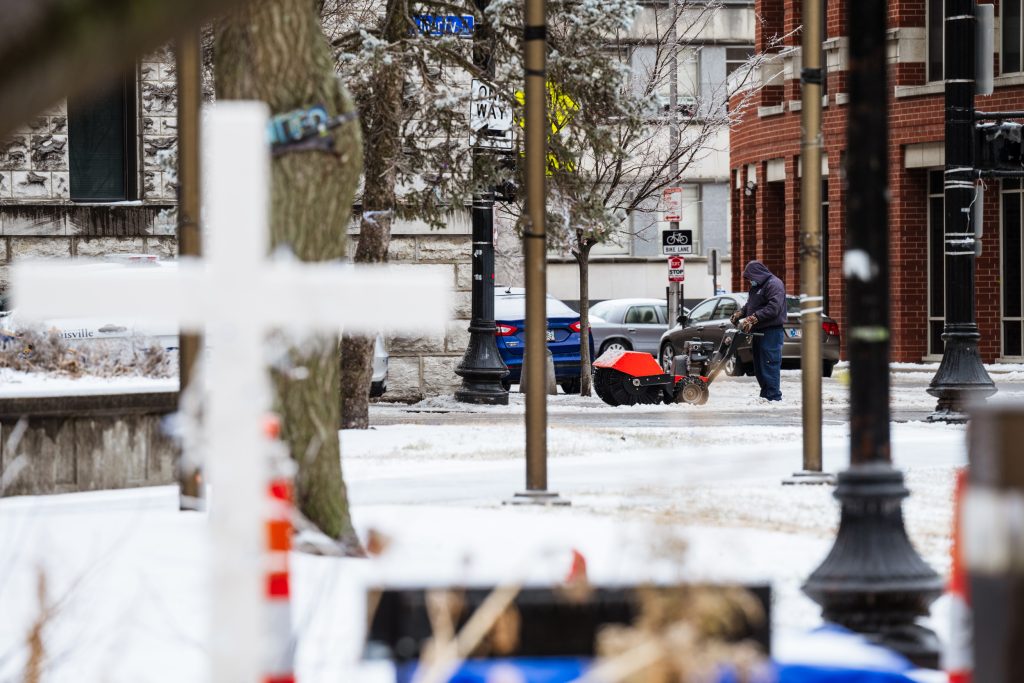
Winter Storm Blair, a significant weather system, is poised to unleash a trifecta of wintry hazards across a vast swathe of the United States this weekend. The storm’s impact will be multifaceted, encompassing heavy snowfall, substantial ice accumulation, and a blast of frigid Arctic air that will plunge temperatures to record lows in some areas. Millions of residents from the Plains to the Midwest and as far east as the mid-Atlantic are bracing for what promises to be a disruptive and potentially dangerous weather event, with travel severely impacted and widespread power outages a significant concern. The combination of snow, ice, and extreme cold presents a complex and hazardous scenario, demanding vigilance and preparedness from those in the storm’s path.
The storm’s trajectory will bring heavy snow to a wide region, with the Appalachians anticipated to bear the brunt of the snowfall, potentially exceeding a foot in some locations. This heavy snow will create hazardous travel conditions, making roads impassable and potentially stranding motorists. The weight of the accumulated snow also poses a risk to infrastructure, potentially leading to roof collapses and tree damage. Beyond the Appalachians, significant snowfall is expected across portions of the Plains and Midwest, compounding the travel challenges and adding to the overall disruptive impact of the storm.
Adding to the complexity of Winter Storm Blair is the forecast for a destructive ice storm across several states, including Nebraska, Kentucky, and West Virginia. Ice accumulation in excess of a quarter-inch is anticipated in these areas, creating treacherous road conditions far more dangerous than snow alone. The added weight of the ice also significantly increases the risk of widespread power outages as ice-laden power lines and trees succumb to the strain. The combination of snow and ice will create a challenging situation for emergency responders and utility crews working to restore power and assist those in need.
Perhaps the most significant aspect of this winter storm is the intrusion of Arctic air, which will send temperatures plummeting to dangerously low levels across a large portion of the country. The northern Plains and Upper Midwest are forecast to experience temperatures dipping below 0°F, posing significant risks of frostbite and hypothermia. The freezing temperatures will extend far south, reaching even the Gulf Coast, an unusual occurrence that highlights the severity of this cold air outbreak. The prolonged exposure to extreme cold will stress infrastructure, potentially leading to frozen pipes and further exacerbating the risk of power outages.
The frigid conditions are expected to persist well into next week, prolonging the hardships faced by those in the affected areas. A staggering 234 million people across at least 40 states are projected to experience freezing temperatures, underscoring the widespread nature of this cold snap. This prolonged period of extreme cold will test the resilience of communities and infrastructure, requiring sustained efforts to ensure the safety and well-being of residents. The extended duration of the cold also increases the risk of health complications related to cold exposure, further emphasizing the need for preparedness and caution.
Winter Storm Blair represents a significant weather event with the potential for widespread disruption and hazardous conditions. The combination of heavy snow, significant ice accumulation, and the intrusion of frigid Arctic air creates a complex and dangerous scenario requiring careful monitoring and proactive measures. Staying informed about the latest weather updates, heeding safety advisories, and taking appropriate precautions are crucial for navigating this challenging weather event and mitigating its potential impacts. The scale and intensity of this storm underscore the importance of community preparedness and resilience in the face of extreme weather events.


